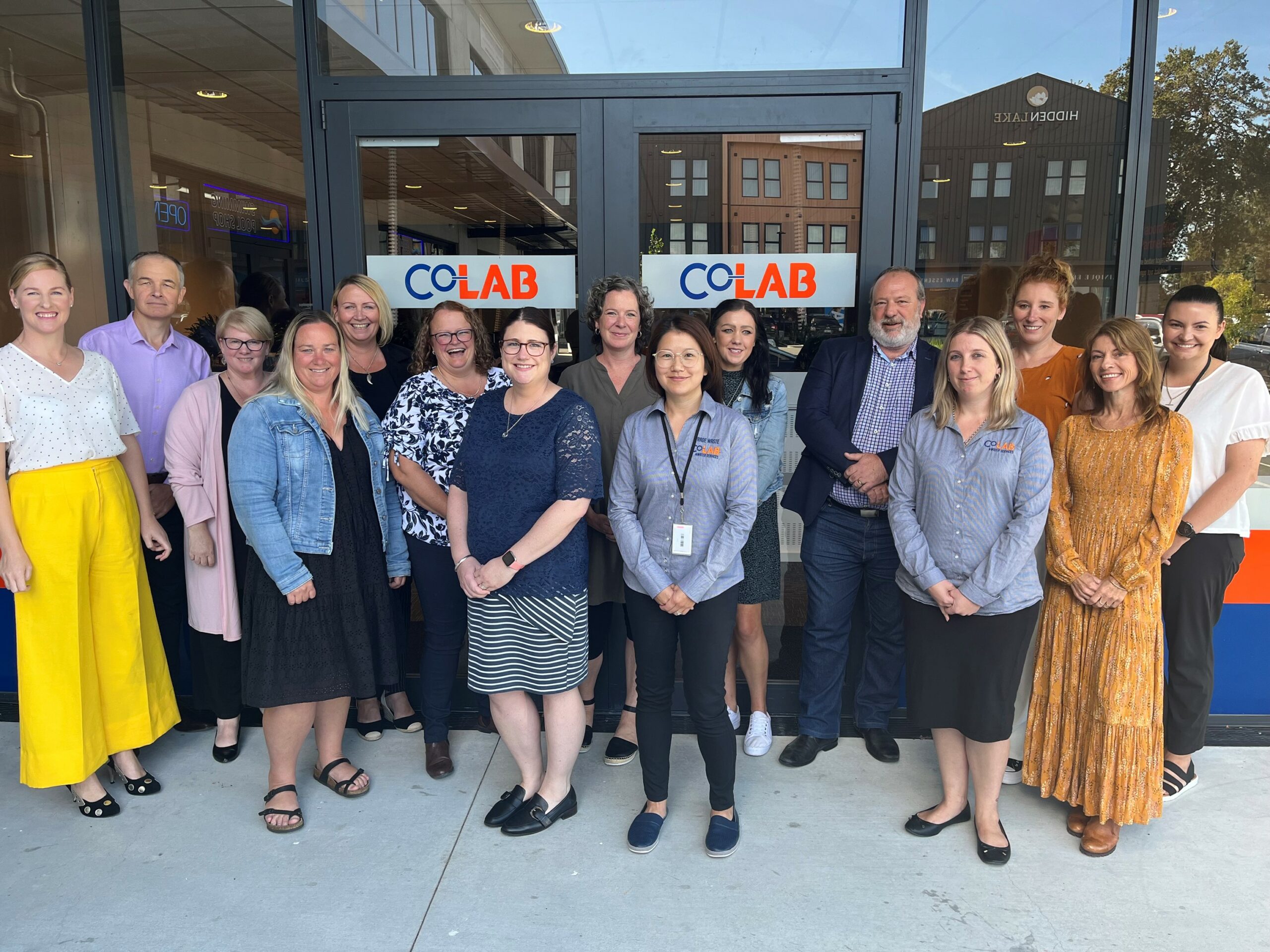
Helping Councils be "Better Together!"

Latest News

Shared Services

Waikato Data Portal

The Waikato Data Portal is a public platform that the Waikato Councils have established to share our data. We believe that knowledge is power and that by working together to make our data free and open it will promote progress, unlock innovation, and by its creative use, result in economic value for our region.

Waikato OneView

Councils in the Waikato Region have worked together to create a single Web Map Viewer, “Waikato OneView”, which presents merged spatial data across the Waikato. Waikato OneView will cover more spatial data over the next few years as well as expand its boundaries to cover the entire Waikato Region.

RITS Documents

The Regional Infrastructure Technical Specification (RITS) is a document that sets out how to design and construct transportation, water supply, wastewater, stormwater and landscaping infrastructure in the participating councils’ areas.

RITS Drawings

When councils set up contracts for the construction of roads, water pipes and landscaping, they refer to specifications and standards that contractors are required to meet. These are found in the RITS and so contractors have certainty about what materials (e.g. types of pipe), that they can use, and what standards must be met.