Home
About Us
Co-Lab Values
Co-Lab Board
Our Councils
Working Parties
Case Studies
Reports
Shared Services
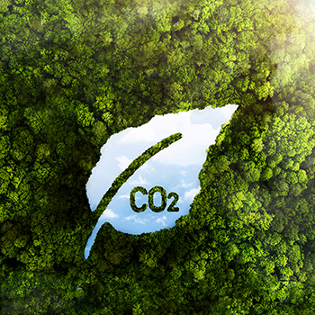
Energy and Carbon Management Programme
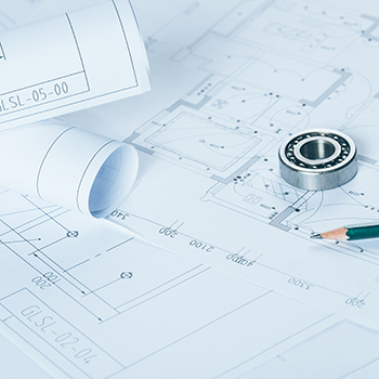
Geospatial Projects and Services
Waikato Open Data Hub
Aerial Photos of the Waikato Region
PGF WLASS LiDAR Project
WaiGIS
Health & Safety Pre-qualification Scheme
Procurement
Joint contracts
Legal Services Panel
Professional Services Panel
Co-Lab Building Services
RATA
RATA Team
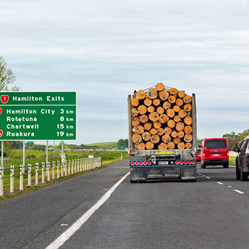
Roading Asset Valuation (RRAVP)
Stock Underpasses (SURP)
RATA Portfolio
Resource Consent Application Forms and Guidance
RITS (Regional Infrastructure Technical Specifications)
RITS Drawings
Documents
RITS Document v2b
WRC Standard Drawings
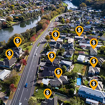
Shared Valuation Data Service
Waikato Building Consent Group (Build Waikato)
Water Services
Sampling and Analysis
Trade Waste
Smart Water
Team Leaders
WRTM (Waikato Regional Transport Model)
Access
Upgrade Programme
Document Store
H&S Pre-Qual
Totika
Health & Safety Pre-qualification Scheme
Regional ED
Ideas
Contact
Search
Linkedin
You are here:
\
Shared Services
Shared Services
Energy & Carbon Management
Geospatial Services
Health & Safety Pre-Qual Scheme
Procurement
RITS
Resource Consent Application Forms/Guidance
Shared Valuation Data Service (SVDS)
Waikato Building Consent Group (WBCG)
RATA
WRTM
Water Services
Learning Portal